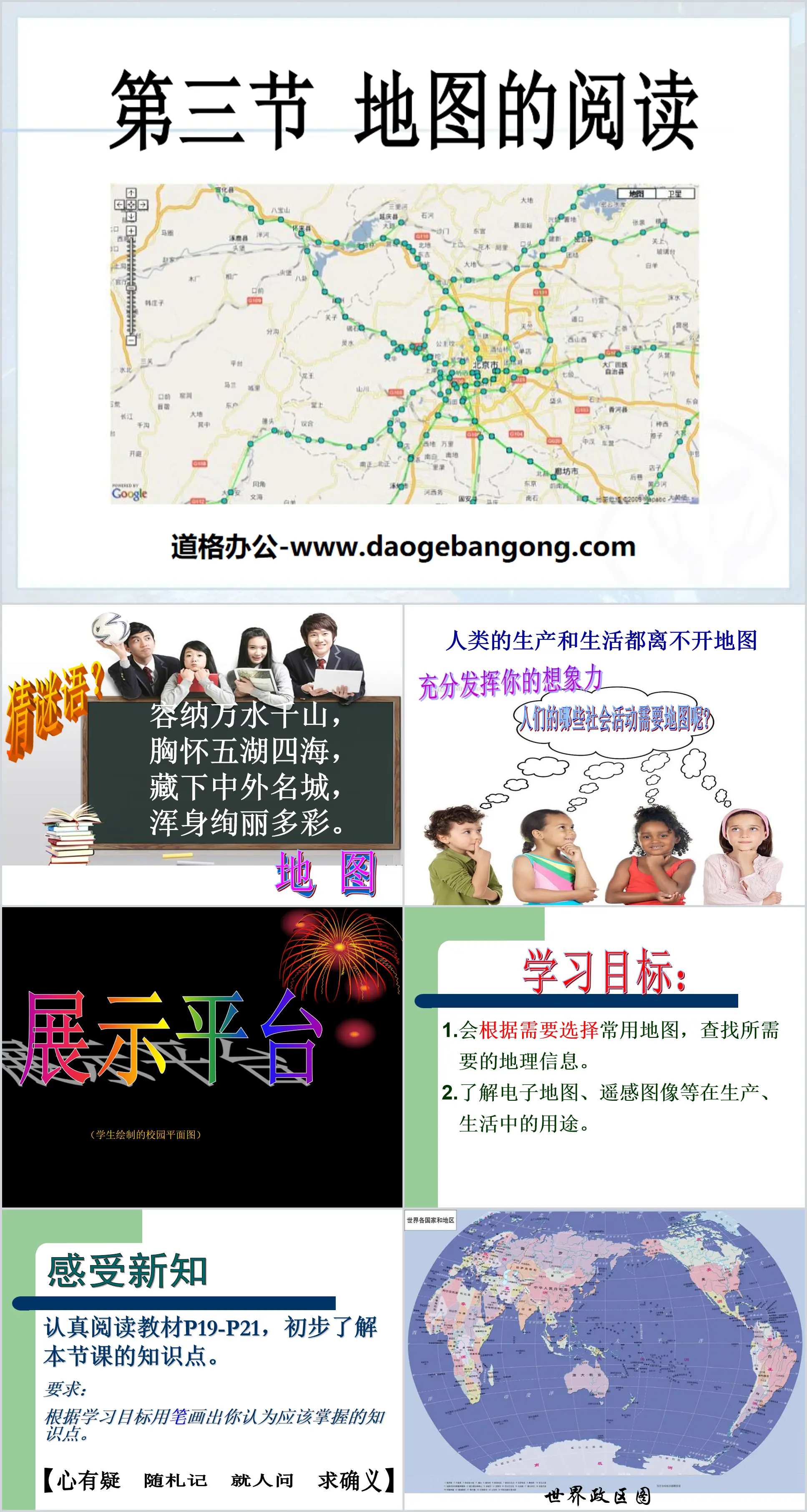
"Reading Maps" Earth and Maps PPT Courseware 2 Simple campus recruitment activity planning plan summary enterprise and institution recruitment publicity lecture PPT template is a general PPT template for business post competition provided by the manuscript PPT, simple campus recruitment activity planning plan summary enterprise and institution recruitment promotion Lecture PPT template, you can edit and modify the text and pictures in the source file by downloading the source file. If you want more exquisite business PPT templates, you can come to grid resource. Doug resource PPT, massive PPT template slide material download, we only make high-quality PPT templates!
| 文件名 如何下载使用 | 下载次数 | Download Points | 下载地址 |
|---|---|---|---|
| "Reading Maps" Earth and... | 19400次 | 0.00 | Free Download |
Tips: If you open the template and feel that it is not suitable for all your needs, you can search for related content "Reading Maps" Earth and Maps PPT Courseware 2 is enough.
How to use the Windows system template
Directly decompress the file and use it with office or wps
How to use the Mac system template
Directly decompress the file and use it Office or wps can be used
Related reading
For more detailed PPT-related tutorials and font tutorials, you can view: Click to see
How to create a high-quality technological sense PPT? 4 ways to share the bottom of the box
Notice
Do not download in WeChat, Zhihu, QQ, built-in browsers, please use mobile browsers to download! If you are a mobile phone user, please download it on your computer!
1. The manuscript PPT is only for study and reference, please delete it 24 hours after downloading.
2. If the resource involves your legitimate rights and interests, delete it immediately.
3. Contact information: service@daogebangong.com
"Reading Maps" Earth and Maps PPT Courseware 2, due to usage restrictions, it is only for personal study and reference use. For commercial use, please go to the relevant official website for authorization.
(Personal non-commercial use refers to the use of this font to complete the display of personal works, including but not limited to the design of personal papers, resumes, etc.)
Related reading
For more detailed PPT-related tutorials and font tutorials, you can view:Please click to see




Authoritative PPT Summary
"Reading Maps" Earth and Maps PPT Courseware 2
learning target:
1. Able to select commonly used maps as needed to find the required geographical information.
2. Understand the uses of electronic maps, remote sensing images, etc. in production and life.
Feel new knowledge
Read the textbook P19-P21 carefully to get a preliminary understanding of the knowledge points of this lesson.
Requirements: Use a pen to draw the knowledge points you think you should master based on the learning objectives.
Applications of modern high-tech maps:
Using satellites or aircraft, ground information can be quickly obtained over a large area and changes in various things on the earth's surface can be reflected in a timely and accurate manner.
Xiaozhen wants to go to Harbin city, but she brings a map of countries and regions around the world with her. Is this appropriate? Why?
Think about it:
In our daily life, we often use a variety of maps. How to choose a suitable map?
Research activity one:
Scenario 1 Our class is going to go on cross-country activities in the mountains of various provinces in China. We want to know where the mountains are and what maps should we prepare?
Scenario 2: Civil unrest breaks out in Syria. Do you know where this country is? What map should we look for?
Scenario 3 If we are traveling to Beijing, we will take the train from Suiling. What map do I need to refer to?
Scenario 4 What if I want to know what scenic spots there are in Beijing? What map should I consult?
Research activity two:
Compare the two maps below. Which map represents the larger area? Which map shows more details? Which map has a larger scale?
If you want to understand the location of Beijing in the motherland, which map should you choose?
If you want to understand the outline features of Beijing, which map should you choose?
Learning detection
Xiao Ming travels to Yunnan during the summer vacation. Throughout his travels, different maps accompanied him.
(1) Before traveling, Xiao Ming found a traffic map in China. How can this map help Xiao Ming’s travel?
(2) When Xiao Ming arrives in Kunming, Yunnan, he wants to stay. What kind of map does he need?
(3) In addition to visiting Kunming, Xiao Ming also wants to visit other famous scenic spots in Yunnan. What kind of map does he need?
(4) After Xiao Ming arrives at a famous scenic spot, he wants to determine the tourist route of the scenic spot. What kind of map does he need?
Keywords: Earth and map teaching courseware, map reading teaching courseware, People's Education Edition seventh grade geography PPT courseware download, seventh grade geography slide courseware download, Earth and map PPT courseware download, map reading PPT courseware download, .PPT Format;
For more information about the "Earth and Maps Map Reading" PPT courseware, please click the "Earth and Maps ppt Map Reading ppt" tag.
"Reading Maps" Earth and Maps PPT Courseware 9:
"Reading Maps" Earth and Maps PPT Courseware 9 Learning Objectives 1. Know the three elements of a map. 2. Know the representation method of scale bar on the map, the conversion and calculation of scale bar. 3. Know the three representation methods of direction and be able to identify different directions on the map. ..
"Reading Maps" Earth and Maps PPT Courseware 8:
"Reading Maps" Earth and Map PPT Courseware 8 1. Learn to read maps Definition: A map is an image on a plane that uses various symbols to reduce geographical things to a certain proportion. The language scale, direction and legend of the map 1. The scale on the map..
"Reading Maps" Earth and Maps PPT Courseware 7:
"Reading Maps" Earth and Maps PPT Courseware 7 Basic Elements of Map Reading Scale The scale on the map indicates the degree to which the distance on the map is smaller than the distance on the ground, so the scale is also called a scale. Calculation of scale bar: Given the distance on the ground and the distance on the map, find the ratio..