
"Polar Regions" PPT Simple campus recruitment activity planning plan summary enterprise and institution recruitment publicity lecture PPT template is a general PPT template for business post competition provided by the manuscript PPT, simple campus recruitment activity planning plan summary enterprise and institution recruitment promotion Lecture PPT template, you can edit and modify the text and pictures in the source file by downloading the source file. If you want more exquisite business PPT templates, you can come to grid resource. Doug resource PPT, massive PPT template slide material download, we only make high-quality PPT templates!
| 文件名 如何下载使用 | 下载次数 | Download Points | 下载地址 |
|---|---|---|---|
| "Polar Regions" PPT | 5650次 | 0.00 | Free Download |
Tips: If you open the template and feel that it is not suitable for all your needs, you can search for related content "Polar Regions" PPT is enough.
How to use the Windows system template
Directly decompress the file and use it with office or wps
How to use the Mac system template
Directly decompress the file and use it Office or wps can be used
Related reading
For more detailed PPT-related tutorials and font tutorials, you can view: Click to see
How to create a high-quality technological sense PPT? 4 ways to share the bottom of the box
Notice
Do not download in WeChat, Zhihu, QQ, built-in browsers, please use mobile browsers to download! If you are a mobile phone user, please download it on your computer!
1. The manuscript PPT is only for study and reference, please delete it 24 hours after downloading.
2. If the resource involves your legitimate rights and interests, delete it immediately.
3. Contact information: service@daogebangong.com
"Polar Regions" PPT, due to usage restrictions, it is only for personal study and reference use. For commercial use, please go to the relevant official website for authorization.
(Personal non-commercial use refers to the use of this font to complete the display of personal works, including but not limited to the design of personal papers, resumes, etc.)
Related reading
For more detailed PPT-related tutorials and font tutorials, you can view:Please click to see

Authoritative PPT Summary
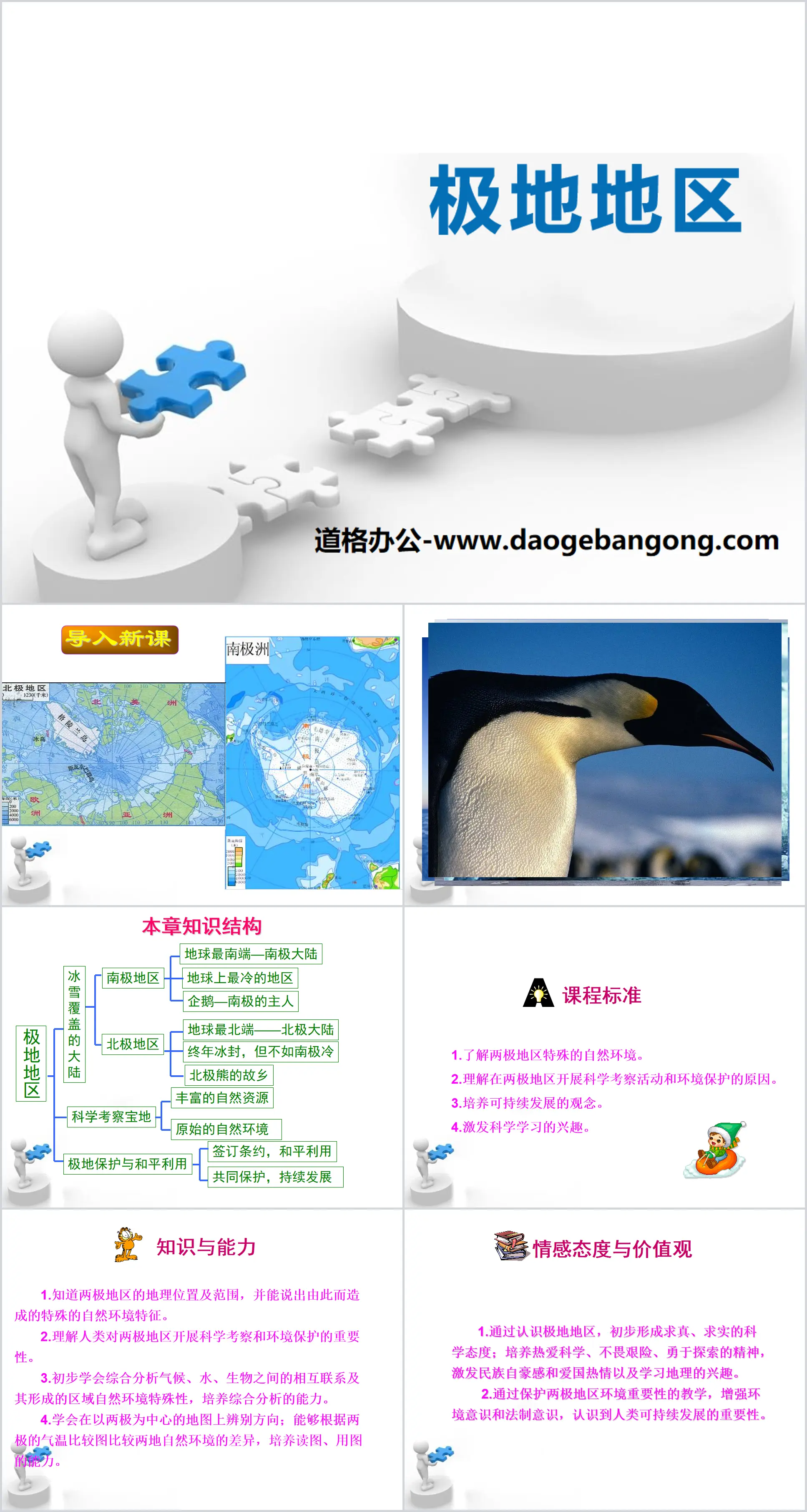
"Polar Regions" PPT
Part 1: Importing new lessons
Curriculum Standards
1. Understand the special natural environment of the polar regions.
2. Understand the reasons for carrying out scientific expedition activities and environmental protection in the polar regions.
3. Cultivate the concept of sustainable development.
4. Stimulate interest in science learning.
knowledge and abilities
1. Know the geographical location and scope of the polar regions, and be able to describe the special natural environmental characteristics caused by them.
2. Understand the importance of human scientific investigation and environmental protection in the polar regions.
3. Preliminarily learn to comprehensively analyze the interconnections between climate, water, and organisms and the particularities of the regional natural environment formed by them, and cultivate the ability of comprehensive analysis.
4. Learn to identify directions on a map centered on the poles; be able to compare the differences in the natural environment between the two places based on the temperature comparison map of the two poles, and develop the ability to read and use maps.
situational attitudes and values
1. Through understanding the polar regions, initially form a scientific attitude of seeking truth and truth; cultivate a spirit of love for science, fearlessness and courage to explore, stimulate national pride and patriotic enthusiasm, and interest in learning geography.
2. Through teaching on the importance of protecting the environment in the polar regions, enhance environmental awareness and legal awareness, and recognize the importance of sustainable human development.
Polar Regions PPT, Part 2: Ice-covered areas
Arctic area
The Arctic refers to the vast area north of 66° 34′ north latitude (Arctic Circle), also called the Arctic region. The Arctic region includes the polar Arctic Ocean, marginal land coastal zones and islands, Arctic tundra and the outermost taiga zone. If the Arctic Circle is used as the boundary of the Arctic, the total area of the Arctic region is 21 million square kilometers, of which the land part accounts for 8 million square kilometers. Some scientists also use the average 10°C isotherm in July (the ocean is the 5°C isotherm) as the southern boundary of the Arctic region from the perspective of phenology. In this way, the total area of the Arctic region is expanded to 27 million square kilometers, of which land The area is about 12 million square kilometers. And if the Arctic is defined based on the distribution of plant species and the entire Taiga forest zone is included in the Arctic, the area of the Arctic region will exceed 40 million square kilometers. What is the boundary of the Arctic region? The standards of the circum-Arctic countries are not uniform, but most people are accustomed to considering the Arctic Circle as the boundary of the Arctic region from a geographical point of view.
Location: Located at the northernmost point of the earth, the vast area north of 66.5° north latitude.
Scope: Including most of the Arctic Ocean, and the land and islands in Asia, Europe and North America along the coast.
Antarctic region
The South Pole is the southernmost point based on the way the Earth rotates. It usually represents the geographical Antarctic region, which has a fixed location. According to internationally accepted concepts, the area south of 66.5° south latitude (Antarctic Circle) is called Antarctica. It is the general name for the Southern Ocean, its islands and the Antarctic continent, with a total area of about 65 million square kilometers.
Location: Located at the southernmost point of the earth, a vast area south of 66.5° south latitude.
Scope: Includes the Antarctic continent, and surrounding oceans.
Polar Regions PPT, Part 3: Natural Environment of the Arctic Region
The climate is frozen all year round, but not as cold as Antarctica.
Precipitation is generally much higher than in the Antarctic region, with annual precipitation generally ranging from 100 to 250 mm.
Wind speed is far less than that of Antarctica, and the average wind speed along the Arctic Ocean is only 10 meters/second.
Discuss
There are abundant krill in the sea around Antarctica. What is strange is that the krill have light-emitting devices on their bodies and can emit light themselves. Please explain the reason from a geographical perspective.
Tip: Because there is a long polar night period in the Antarctic region, krill can emit light themselves as a result of adapting to the darkness of the polar night period.
Polar Regions PPT, Part 4: Treasure Land for Scientific Investigation
If we really have the opportunity to follow scientists to the polar regions for inspection, when do you think we should go?
Tip: The climate in the Antarctic region is cold and warm, and is divided into two seasons: cold and warm. From November to March of the following year, Antarctica is in the polar day period, and the temperature rises. It is the warm season in the Antarctic region. This is also the time when humans carry out various activities in the Antarctic region. The most favorable time for such activities.
The Arctic region can be divided into four seasons a year. Winter is from November to April of the following year. The average temperature in January is between -20°C and -40°C. May, June and September and October are spring and autumn. July and August are summer. The average temperature in August, the warmest month, can reach -8℃, so May to September is a favorable time for humans to carry out various activities in the Arctic region.
The two polar regions are a treasure trove of scientific research in the world. So far, 18 countries have established more than 140 scientific research experimental stations in Antarctica; many land-based comprehensive research stations, floating ice drifting stations and unmanned buoy stations have also been established in the Arctic. . On August 22, 2003, during China’s second Arctic scientific expedition, the expedition team successfully deployed the first set of polar ocean hydrographic satellite tracking buoys at 78.24′ north latitude and 149.05′ west longitude. On a 3-meter-thick, 350-square-kilometer ice floe, China achieved zero breakthrough in polar region satellite tracking buoys.
Tips for answering the textbook P107 activity questions:
1. Because the Antarctic region is located in the southern hemisphere, February happens to be the summer in the southern hemisphere. The Antarctic region belongs to the warm season and has polar daylight, which is convenient for scientific investigation and construction.
2. The scientific value of the Antarctic region is mainly reflected in providing scientists with the most extensive natural laboratory for conducting scientific research on meteorology, glaciers, geology, marine biology, etc.
Polar Regions PPT, Part 5: Protection and Peaceful Use of the Polar Regions
Antarctic ozone hole
Since the mid-1970s, atmospheric observations in Antarctica have found that the ozone (O3) content in the middle and lower stratosphere 10-20 kilometers above the Antarctic region in spring (September and October) has been decreasing year by year. By 1985 It is only 60%-70% of the normal value every year. The total ozone data detected by the Nimbus 7 polar-orbiting satellite show that the ozone-reducing area is located near the South Pole and is oval-shaped. Its scope has a tendency to expand year by year. In 1985, it was equivalent to the area of the United States. This phenomenon is known as the Antarctic ozone hole. The emergence of the Antarctic ozone hole and its continuous expansion and "deepening" have attracted widespread attention from scholars, and also made some scientists worried.
Signing of the Antarctic Treaty
On December 1, 1959, 12 countries including the United States, Britain, Australia, New Zealand, France, Norway, Belgium, Japan, Argentina, Chile and South Africa signed the Antarctic Treaty in Washington, USA. The main contents are: 1. Peaceful use and demilitarization. The treaty stipulates that Antarctica will be used only for peaceful purposes, and all measures of a military nature are prohibited; any nuclear explosions in Antarctica and the disposal of radioactive dust in the area are prohibited. 2. Territorial freezing. The previous territorial sovereignty and rights claims of various countries to Antarctica are frozen, and all actions and activities that occurred during the validity period of the treaty are prohibited from making new claims. Among the original member states and new member states, countries that conduct specific scientific research in Antarctica, hold regular meetings on the implementation of the treaty, and ensure that the treaty provisions are observed for the purpose of the treaty, all have the right to designate observers for inspections. The treaty came into effect on June 23, 1961, with a tentative term of 30 years. As of 1983, there were 28 member states participating in the treaty. Treaty member states usually meet every two years.
China joined the treaty in June 1983 and became a negotiating party to the treaty in October 1985.
Polar Regions PPT, Part 6: Consolidation Training
1. Which of the following statements about the location and characteristics of Antarctica is incorrect ( )
A. Antarctica is the continent with the widest range of longitudes
B. Antarctica is the continent with the highest latitude, all located within the Antarctic Circle
C. From the 20° east longitude to the east, the Indian Ocean, Pacific Ocean, and Atlantic Ocean circle in sequence
Around the Antarctic continent
D. Antarctica is the intermediate base for future air traffic connections between continents in the southern hemisphere.
2. The best time for scientific expedition to Antarctica is ( )
A. July and August every summer B. September and October every autumn
C. The warm season in January and February every year D. Any time is fine
3. The dangers encountered by the Antarctic expedition team members include ( )
① A blizzard is coming, and the road cannot be seen clearly ② The snow-covered crevasses may engulf the team members at any time ③ The severe cold leaves the team members with ruthless frostbite ④ No one can be encountered in the entire Antarctica, and rescue is impossible ⑤ Anytime Will be attacked by a bear
A.①②③ B.②③④⑤ C.①②③④ D.①②③④⑤
4. A Chinese scientific research ship sets out from the waters near the Great Wall Station and sails around Antarctica in the direction of the earth's rotation. The sequence of passing through the ocean is ()
A. Pacific Indian Ocean Atlantic B. Pacific Atlantic Indian Ocean
C. Atlantic Ocean Pacific Indian Ocean D. Atlantic Ocean Indian Ocean Pacific
5. Antarctica is rich in coal resources ( )
A. The Antarctic region originally had a warm climate and widespread forests.
B. Antarctica was a marine sedimentary basin in the Cenozoic Era
C. The Antarctic region was originally an ocean with many aquatic plants.
D. The Antarctic continent reaches here from mid-latitude due to plate movement
Keywords: Free download of Business Planet Edition Geography PPT courseware for seventh grade volume 2, PPT download, .PPT format;
For more information about the "Polar Regions" PPT courseware, please click on the Polar Regions ppt tab.
"Polar Regions" PPT courseware download:
"Polar Regions" PPT courseware download Part One: Ice-covered regions There are very special regions at the northern and southern ends of the earth: the Arctic and Antarctic regions. The Arctic region, located at the northernmost point of the Earth, is the vast area north of latitude 66.5 (Arctic Circle).
"Polar Regions" PPT download:
"Polar Regions" PPT Download Part One: Learning Objectives: 1. Use maps to tell the latitudes, sea and land locations of the North and South Poles. 2. Use data to describe the special characteristics of the natural environment in the polar regions. 3. Understand scientific expeditions in the Antarctic region. 4. Name two...
"Polar Regions" PPT courseware 6:
"Polar Regions" PPT courseware 6 The reason why the temperature in Antarctica is much lower than that of the Arctic is that the nature of the sea and land is different: Antarctica is mainly continent and covered with ice and snow. It has strong reflection of sunlight, absorbs less heat and releases more heat, while the Arctic is mainly ocean. Releases heat slowly and altitude does not...