Business Planet Edition 7th Grade Geography Volume 1
People's Education Edition Geography for Seventh Grade Volume 2
Business Planet Edition 7th Grade Geography Volume 2
Business Planet Edition Geography for Grade 8 Volume 1
People's Education Edition Geography for Eighth Grade Volume 2
Hunan Education Edition High School Geography Compulsory Course I
Shanghai Education Edition Seventh Grade Geography Volume 1
People's Education Edition Geography for Grade 8 Volume 1
Compulsory Course 1 of High School Geography in China Graphics Edition
People's Education Edition Geography for Grade 7 Volume 1
Lu Ke version of high school geography compulsory course I
Shanghai Education Edition Geography for Sixth Graders Volume 1
People's Education Press High School Geography Compulsory Course 1
Hunan Education Edition High School Geography Compulsory Course II
Business Planet Edition Geography for Eighth Grade Volume 2
Shanghai Education Edition Seventh Grade Geography Volume 2

| Category | Format | Size |
|---|---|---|
| Shanghai Education Edition Geography for Sixth Graders Volume 2 | pptx | 6 MB |

"Global Sea and Land Distribution" PPT
2024-11-23
Copyright statement: This material is compiled and released by the user of Daoge Resources. The copyright belongs to the author. For commercial use, please contact the copyright owner. If there is any infringement, please contact the webmaster to remove the resource.
Download Points: 0.00
Free Download
Upgrade VIP
Favorite
Views: 1207 / Downloads: 483
Description
"Global Sea and Land Distribution" PPT
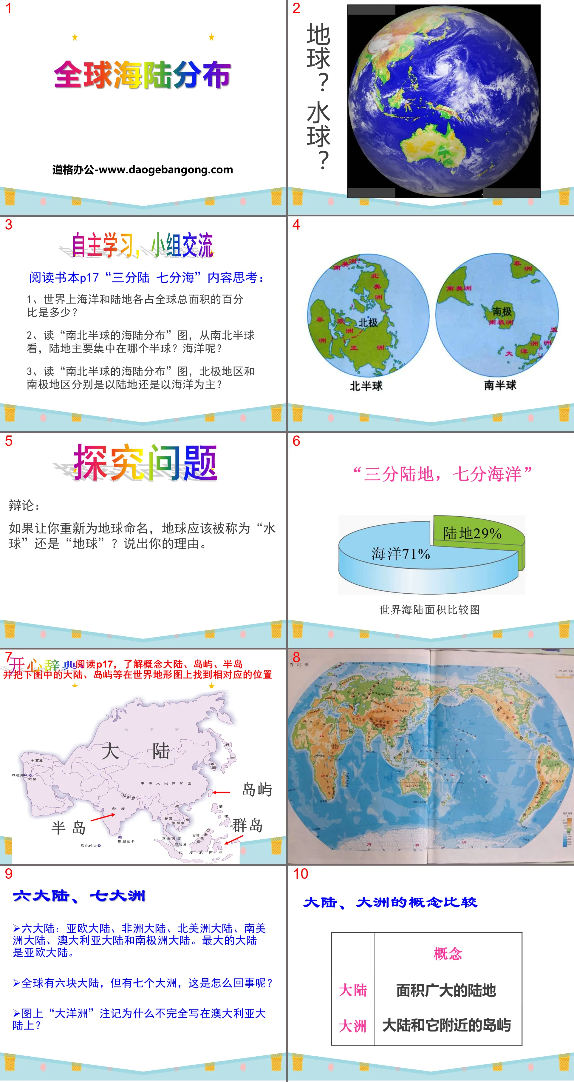
Part 1 content: independent learning, group communication
Thoughts on reading the content of P17 "Three parts of the land and seven parts of the sea":
1. What percentage of the world’s oceans and land areas account for each of the total global area?
2. Read the map "Distribution of land and sea in the Northern and Southern Hemispheres". From the perspective of the Northern and Southern Hemispheres, in which hemisphere is the land mainly concentrated? What about the ocean?
3. Read the "Distribution of Sea and Land in the Northern and Southern Hemispheres" map. Are the Arctic and Antarctic regions mainly land or sea respectively?
Explore questions
Debate: If you were to rename the Earth, should it be called "Water Polo" or "Earth"? Give your reasons.
Global sea and land distribution PPT, part 2 content: six continents and seven continents
Six continents: Eurasia, Africa, North America, South America, Australia and Antarctica. The largest continent is Eurasia.
There are six continents in the world, but there are seven continents. What's going on?
Why is the annotation "Oceania" on the map not entirely written on the Australian continent?
Explore research
Read books P18-P19, observe and become familiar with the names, spatial positions, outlines, and sizes of the world's seven continents and four oceans.
Global sea and land distribution PPT, the third part of the content: Pick one in the class: Quick answer questions
Look at world topographic maps or books to answer the following questions:
1. What is the largest continent?
2. What is the continent with the highest latitude?
3. Which continents does the equator cross?
4. Are the Antarctic and the North Pole land or ocean respectively?
5. What is the largest ocean?
6. What is the ocean with a slightly S-shaped outline and the second largest area in the world?
Global land and sea distribution PPT, part 4: cooperative exploration
1. Read books and atlases P4-5 and look for the dividing lines between continents.
①The dividing line between Asia and Europe is ( ) mountains, ( ) rivers, ( ) mountains, and ( ) straits.
②The dividing line between Asia and North America is the ( ) Strait.
③The dividing line between Europe and Africa is the ( ) Strait.
The dividing line between Asia and Europe:
ural mountains
ural river
Greater Caucasus Mountains
Turkish Straits
The dividing line between Europe and Africa: the Strait of Gibraltar
The dividing line between Asia and North America: the Bering Strait
Keywords: Shanghai Education Edition Geography PPT courseware for sixth grade volume 2 free download, global sea and land distribution PPT download, .PPT format;
For more information about the "Global Sea and Land Distribution" PPT courseware, please click the Global Sea and Land Distribution ppt tab.
"Global Sea and Land Distribution" PPT courseware:
"Global Land and Sea Distribution" PPT courseware Part One Content: Three-thirds of land and seven-thirds of ocean. The total surface area of the earth is 510 million square kilometers. The ocean accounts for 71% and the land accounts for 29%. Seven parts ocean and three parts land, a veritable water ball. The distribution of sea and land in the southern and northern hemispheres. From the south...
File Info
Update Time: 2024-11-23
This template belongs to Geography courseware Shanghai Education Edition Geography for Sixth Graders Volume 2 industry PPT template
"Global Sea and Land Distribution" PPT Simple campus recruitment activity planning plan summary enterprise and institution recruitment publicity lecture PPT template is a general PPT template for business post competition provided by the manuscript PPT, simple campus recruitment activity planning plan summary enterprise and institution recruitment promotion Lecture PPT template, you can edit and modify the text and pictures in the source file by downloading the source file. If you want more exquisite business PPT templates, you can come to grid resource. Doug resource PPT, massive PPT template slide material download, we only make high-quality PPT templates!
Tips: If you open the template and feel that it is not suitable for all your needs, you can search for related content "Global Sea and Land Distribution" PPT is enough.
How to use the Windows system template
Directly decompress the file and use it with office or wps
How to use the Mac system template
Directly decompress the file and use it Office or wps can be used
Related reading
For more detailed PPT-related tutorials and font tutorials, you can view: Click to see
How to create a high-quality technological sense PPT? 4 ways to share the bottom of the box
Notice
Do not download in WeChat, Zhihu, QQ, built-in browsers, please use mobile browsers to download! If you are a mobile phone user, please download it on your computer!
1. The manuscript PPT is only for study and reference, please delete it 24 hours after downloading.
2. If the resource involves your legitimate rights and interests, delete it immediately.
3. Contact information: service@daogebangong.com
"Global Sea and Land Distribution" PPT, due to usage restrictions, it is only for personal study and reference use. For commercial use, please go to the relevant official website for authorization.
(Personal non-commercial use refers to the use of this font to complete the display of personal works, including but not limited to the design of personal papers, resumes, etc.)
Preview
Related Search:
"Global Sea and Land Distribution" PPT
2024-11-23
Copyright statement: This material is compiled and released by the user of Daoge Resources. The copyright belongs to the author. For commercial use, please contact the copyright owner. If there is any infringement, please contact the webmaster to remove the resource.
Download Points: 0.00
Free Download
Upgrade VIP
Favorite
Views: 1207 / Downloads: 483


