Business Planet Edition 7th Grade Geography Volume 1
Business Planet Edition 7th Grade Geography Volume 2
Business Planet Edition Geography for Grade 8 Volume 1
People's Education Edition Geography for Seventh Grade Volume 2
People's Education Edition Geography for Eighth Grade Volume 2
Shanghai Education Edition Seventh Grade Geography Volume 1
Hunan Education Edition High School Geography Compulsory Course I
Compulsory Course 1 of High School Geography in China Graphics Edition
People's Education Edition Geography for Grade 8 Volume 1
People's Education Edition Geography for Grade 7 Volume 1
Shanghai Education Edition Geography for Sixth Graders Volume 1
Hunan Education Edition High School Geography Compulsory Course II
People's Education Press High School Geography Compulsory Course 1
Lu Ke version of high school geography compulsory course I
Business Planet Edition Geography for Eighth Grade Volume 2
Shanghai Education Edition Seventh Grade Geography Volume 2
| Category | Format | Size |
|---|---|---|
| Hunan Education Edition High School Geography Compulsory Course II | pptx | 6 MB |

"Transportation and Regional Development" Regional Development Strategy PPT Courseware
2024-11-13
Copyright statement: This material is compiled and released by the user of Daoge Resources. The copyright belongs to the author. For commercial use, please contact the copyright owner. If there is any infringement, please contact the webmaster to remove the resource.
Download Points: 0.00
Free Download
Upgrade VIP
Favorite
Views: 4194 / Downloads: 841
Description
"Transportation and Regional Development" Regional Development Strategy PPT Courseware
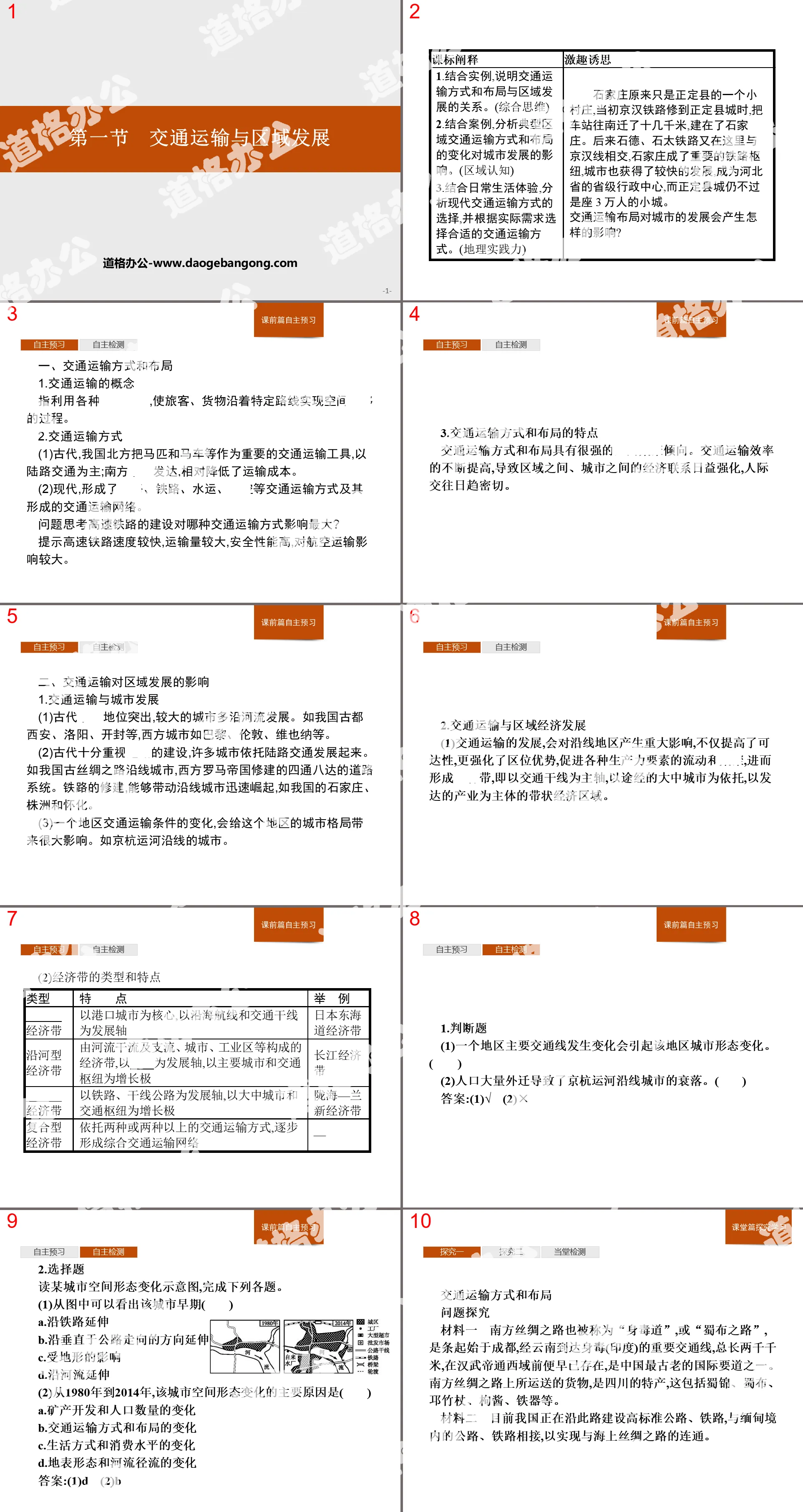
Part One: Explanation of Curriculum Standards
1. Use examples to explain the relationship between transportation modes and layout and regional development. (comprehensive thinking)
2. Combined with cases, analyze the impact of changes in typical regional transportation modes and layout on urban development. (regional awareness)
3. Combine with daily life experience, analyze the choice of modern transportation methods, and choose appropriate transportation methods according to actual needs. (geographical practice)
Transportation and Regional Development PPT, Part 2: Independent preview before class
1. Transportation methods and layout
1. The concept of transportation
It refers to the process of using various means of transportation to achieve spatial displacement of passengers and goods along specific routes.
2. Transportation methods
(1) In ancient times, horses and carriages were important means of transportation in northern my country, with land transportation being the main means; water transportation in the south was developed, which relatively reduced transportation costs.
(2) In modern times, transportation modes such as roads, railways, water transportation, and aviation have been formed, as well as the transportation network they formed.
Question: Which mode of transportation will the construction of high-speed railway have the greatest impact on?
It is suggested that high-speed railway has faster speed, larger transportation volume and high safety performance, and has a greater impact on air transportation.
3. Characteristics of transportation modes and layout
Transportation methods and layout have a strong tendency towards spatial agglomeration. The continuous improvement of transportation efficiency has led to the increasing strengthening of economic ties between regions and cities, and increasingly closer interpersonal interactions.
2. The impact of transportation on regional development
1. Transportation and urban development
(1) Water transportation played a prominent role in ancient times, and larger cities mostly developed along rivers. For example, my country's ancient capitals Xi'an, Luoyang, Kaifeng, etc., and Western cities such as Paris, London, Vienna, etc.
(2) In ancient times, great emphasis was placed on road construction, and many cities developed relying on land transportation. For example, the cities along the ancient Silk Road in my country and the road system extending in all directions built by the Western Roman Empire. The construction of railways can drive the rapid rise of cities along the lines, such as Shijiazhuang, Zhuzhou and Huaihua in my country.
(3) Changes in transportation conditions in a region will have a great impact on the urban pattern of the region. Such as the cities along the Beijing-Hangzhou Canal.
2. Transportation and regional economic development
(1) The development of transportation will have a significant impact on areas along the line. It not only improves accessibility, but also strengthens location advantages, promotes the flow and agglomeration of various productivity factors, and then forms an economic belt, that is, with transportation trunk lines as the main axis. , a strip economic region based on the large and medium-sized cities passing through and with developed industries as the main body.
(2) Types and characteristics of economic zones
Autonomous detection
1. True or False Question
(1) Changes in the main traffic lines of a region will cause changes in the urban morphology of the region. ()
(2) Massive population migration led to the decline of cities along the Beijing-Hangzhou Canal. ()
Answer:(1)√ (2)×
2. Multiple choice questions
Read the schematic diagram of changes in spatial form of a certain city and complete the following questions.
(1) It can be seen from the picture that the city’s early days ()
A. Extend along the railway
B. Extend in a direction perpendicular to the direction of the highway
C. Affected by terrain
D. Extend along the river
(2) From 1980 to 2014, the main reasons for the changes in the city’s spatial form are ()
A. Mineral development and population changes
B. Changes in transportation methods and layout
C. Changes in lifestyle and consumption levels
D. Changes in land surface morphology and river runoff
Answer:(1)D (2)B
Transportation and Regional Development PPT, Part 3: Classroom Inquiry and Learning
Transportation methods and layout
Question exploration
Material 1 The Southern Silk Road, also known as the "Shendu Road" or the "Shubu Road", is an important transportation line starting from Chengdu, passing through Yunnan and reaching Shendu (India), with a total length of 2,000 kilometers. It existed long before Emperor Wu of the Han Dynasty entered the Western Regions and is one of the oldest international arteries in China. The goods transported on the Southern Silk Road are Sichuan specialties, including Shu brocade, Shu cloth, Qiong bamboo sticks, wolfberry paste, ironware, etc.
Material 2: Currently, our country is building high-standard roads and railways along this road to connect with roads and railways in Myanmar to achieve connectivity with the Maritime Silk Road.
Material 3: Southern Silk Road Road Map.
Explore with materials:
(1) Explain the natural and humanistic reasons why the ancient “Southern Silk Road” was basically distributed along the mountain valleys.
Prompt natural reasons: the terrain has relatively small undulations (fewer natural barriers; sufficient water sources).
Humanistic reasons: more settlements (larger population; conducive to trade and supplies).
(2) What development trends in regional connections does the new “Silk Road”, which consists of high-speed railway and road transportation, pipeline transportation, maritime transportation, air transportation, optical cable information transmission, etc., reflect?
Prompt networking; integration (three-dimensional or diversified); high-speed; specialization; large-scale (scale).
(3) What benefits will it bring to the economic development of southwest my country after being connected with the transportation lines in Myanmar?
It is suggested that the increase in transportation lines will make the area's external contacts faster; it will be conducive to strengthening trade and cultural exchanges with Southeast Asia and the Indian Ocean coastal countries, and it will be conducive to expanding the scope of external contacts.
Lectures by famous teachers
1. The main mode of transportation in modern times
(1) The main modern modes of transportation: railway transportation, road transportation, water transportation, air transportation, and pipeline transportation.
(2) Characteristics of modern main modes of transportation
2. Factors affecting transportation layout
(1) The impact of natural factors on transportation layout
(2) The impact of socioeconomic factors on transportation layout
Methods and techniques for selecting transportation lines
(1) Macroscopic route selection: The construction of transportation lines generally requires large investments, and mainly considers social and economic needs (resource development and allocation, promoting inter-regional economic ties and scientific and technological cultural exchanges, driving economic development in areas along the line, rationally laying out transportation networks, and maintaining National unification and national unity, consolidating national defense, etc.), natural factors (geology, landforms, climate, hydrology) affect the selection of routes (seeking advantages and avoiding disadvantages, reducing the amount of work, such as choosing plain or valley terrain as much as possible, avoiding steep slopes, faults, Unfavorable terrain such as swamps); technology is the guarantee and can overcome the constraints of adverse natural conditions.
(2) Micro line selection: Lines of different properties and levels have different requirements and should be treated differently. For example, railways and highways generally require straight lines, while general highways can choose to extend along contour lines or climb in a zigzag shape; national highways are mainly for direct transportation, while local highways should connect as many nodes as possible. The pipeline should make use of existing pipelines as much as possible, fully consider the oil and gas supply areas and consumer markets along the route, and try to avoid places with harsh natural conditions such as mountains and rivers. Of course, the common principles are to be convenient and fast, occupy less cultivated land, and reduce interference to residential areas.
Transportation and Regional Development PPT, Part 4: In-person Testing
The figure below is a schematic diagram of the transportation volume and speed of the main transportation modes. Complete 1~2 accordingly
1. The transportation methods represented by the numbers in the picture are ()
A. ① Water transportation, ② Railway transportation, ③ Air transportation, ④ Road transportation
B. ① Road transportation, ② Railway transportation, ③ Air transportation, ④ Water transportation
C. ① Railway transportation, ② Water transportation, ③ Air transportation, ④ Road transportation
D.①Road transport, ②Water transport, ③Air transport, ④Rail transport
2. Transportation in the north-south direction of our country has always been very tight. The current effective way to improve this situation is ()
A. Open up more north-south routes
B. Increase operating speed based on existing railways
C. Excavation of the canal or widening of the Beijing-Hangzhou Canal
D. Laying north-south pipeline transportation lines
The "Chongqing-Xinjiang-Europe" international railway transport corridor has a total length of 1,119 kilometers and a running time of 16 days. The freight is cheaper than air transportation and the transportation time is shorter than sea transportation. It has greater transportation capacity, higher safety, wider radiation, and more convenient customs clearance. A Chinese trade delegation departed from Chongqing in June and traveled to Europe along the "Chongqing-Xinjiang-Europe" railway for inspection. The picture below is a schematic diagram of the "Chongqing-Xinjiang-Europe" international railway and Chongqing railway transportation. Complete questions 3~4 accordingly.
3. The advantages of vigorously developing railway transportation between my country and Central Asian countries are ()
① Suitable for long-distance bulk cargo transportation ② Low total construction cost ③ Fast, flexible and convenient transportation ④ Relatively less affected by meteorological disasters
A.①③ B.②③ C.①④ D.②④
4. During the trade delegation’s inspection, which of the following descriptions of the natural environment along the route is correct ()
A. In Urumqi, I saw mountains with vegetation on the slopes and snow on the tops.
B. From Chongqing to Xinjiang, the vegetation shows a change from grassland to desert.
C. In Germany, we can see that the distribution altitude of mountain coniferous forests is increasing.
D. The amount of water in the Syr Darya River in Central Asia continues to increase from south to north to the mouth of the river.
Keywords: Hunan Education Edition high school geography compulsory course II PPT courseware free download, transportation and regional development PPT download, regional development strategy PPT download, .PPT format;
For more information about the "Regional Development Strategy, Transportation and Regional Development" PPT courseware, please click on the "Regional Development Strategy PPT Transportation and Regional Development PPT" tab.
"Marine Rights and my country's Marine Development Strategy" Regional Development Strategy PPT courseware:
"Marine Rights and my country's Marine Development Strategy" Regional Development Strategy PPT Courseware Part One: Explanation of Course Standards 1. Combined with examples, explain the national maritime rights and interests, the new era of marine development strategy and its importance. (Comprehensive thinking) 2. Use information to explain that the South China Sea Islands are...
"Integration of this Chapter" Regional Development Strategy PPT courseware:
"Integration of this Chapter" Regional Development Strategy PPT Courseware
Part One: Deepening of Core Inductive Thinking
1. Interpretation method of regional transportation map
Regional transportation layout maps mostly use regional maps as carriers to examine the transportation modes, traffic lines and...
"my country's Regional Development Strategy" Regional Development Strategy PPT courseware:
"my country's Regional Development Strategy" Regional Development Strategy PPT Courseware Part One: Explanation of Course Standards 1. Take a major national development strategy as an example and use different types of thematic maps to explain its geographical background. (Comprehensive thinking) 2. Combine relevant background information to understand different...
File Info
Update Time: 2024-11-13
This template belongs to Geography courseware Hunan Education Edition High School Geography Compulsory Course II industry PPT template
"Transportation and Regional Development" Regional Development Strategy PPT Courseware Simple campus recruitment activity planning plan summary enterprise and institution recruitment publicity lecture PPT template is a general PPT template for business post competition provided by the manuscript PPT, simple campus recruitment activity planning plan summary enterprise and institution recruitment promotion Lecture PPT template, you can edit and modify the text and pictures in the source file by downloading the source file. If you want more exquisite business PPT templates, you can come to grid resource. Doug resource PPT, massive PPT template slide material download, we only make high-quality PPT templates!
Tips: If you open the template and feel that it is not suitable for all your needs, you can search for related content "Transportation and Regional Development" Regional Development Strategy PPT Courseware is enough.
How to use the Windows system template
Directly decompress the file and use it with office or wps
How to use the Mac system template
Directly decompress the file and use it Office or wps can be used
Related reading
For more detailed PPT-related tutorials and font tutorials, you can view: Click to see
How to create a high-quality technological sense PPT? 4 ways to share the bottom of the box
Notice
Do not download in WeChat, Zhihu, QQ, built-in browsers, please use mobile browsers to download! If you are a mobile phone user, please download it on your computer!
1. The manuscript PPT is only for study and reference, please delete it 24 hours after downloading.
2. If the resource involves your legitimate rights and interests, delete it immediately.
3. Contact information: service@daogebangong.com
"Transportation and Regional Development" Regional Development Strategy PPT Courseware, due to usage restrictions, it is only for personal study and reference use. For commercial use, please go to the relevant official website for authorization.
(Personal non-commercial use refers to the use of this font to complete the display of personal works, including but not limited to the design of personal papers, resumes, etc.)
Preview
Related Search:
"Transportation and Regional Development" Regional Development Strategy PPT Courseware
2024-11-13
Copyright statement: This material is compiled and released by the user of Daoge Resources. The copyright belongs to the author. For commercial use, please contact the copyright owner. If there is any infringement, please contact the webmaster to remove the resource.
Download Points: 0.00
Free Download
Upgrade VIP
Favorite
Views: 4194 / Downloads: 841


