Business Planet Edition 7th Grade Geography Volume 2
Business Planet Edition Geography for Grade 8 Volume 1
Business Planet Edition 7th Grade Geography Volume 1
People's Education Edition Geography for Seventh Grade Volume 2
Shanghai Education Edition Seventh Grade Geography Volume 1
Hunan Education Edition High School Geography Compulsory Course I
Business Planet Edition Geography for Eighth Grade Volume 2
People's Education Edition Geography for Grade 7 Volume 1
People's Education Edition Geography for Eighth Grade Volume 2
Lu Ke version of high school geography compulsory course I
Shanghai Education Edition Geography for Sixth Graders Volume 1
Hunan Education Edition High School Geography Compulsory Course II
People's Education Edition Geography for Grade 8 Volume 1
Shanghai Education Edition Seventh Grade Geography Volume 2
Shanghai Education Edition Geography for Sixth Graders Volume 2
Compulsory Course 1 of High School Geography in China Graphics Edition
| Category | Format | Size |
|---|---|---|
| Business Planet Edition Geography for Grade 8 Volume 1 | pptx | 6 MB |

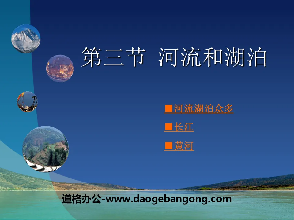
"Rivers and Lakes" PPT
2024-10-05
Copyright statement: This material is compiled and released by the user of Daoge Resources. The copyright belongs to the author. For commercial use, please contact the copyright owner. If there is any infringement, please contact the webmaster to remove the resource.
Download Points: 0.00
Free Download
Upgrade VIP
Favorite
Views: 2374 / Downloads: 689
Description
"Rivers and Lakes" PPT
Part One: Many Rivers and Lakes
In the vast land of the motherland, there are many rivers flowing, including more than 20 rivers with a length of more than 1,000 kilometers, and more than 1,500 rivers with a drainage area of more than 1,000 square kilometers. Our country's numerous rivers and lakes have shaped fertile plains, nourished vast fertile soil, contained abundant water energy, and provided convenient shipping... Like mothers, they have nurtured generations of Chinese children and given birth to a long and splendid China. civilization.
Read the picture above:
1. Find the Heilongjiang, Yellow River, Huaihe, Yangtze River, Pearl River, Nujiang, Yarlung Zangbo River, Irtysh River, Tarim River, Qinghai Lake, Poyang Lake, Dongting Lake, Taihu Lake, and Hongze Lake, and tell them their differences Is it located in the outflow area or the inflow area?
2. Indicate which oceans the main rivers in the outflow area feed into.
Among the many rivers in our country, rivers such as the Yangtze River and the Yellow River that eventually flow into the ocean are outflow rivers. The area where outflow rivers are distributed is called the outflow area. Most of my country's outflow rivers are distributed in the eastern monsoon region with a humid climate, roughly bounded by the Qinling Mountains-Huaihe River line. Rivers in the northern region generally have shorter flood seasons and ice periods. Except for some rivers in the northeast, most of them have small flows and high water content. The amount of sand is large; most rivers in the south have large flows, long flood seasons, small sand contents, and no ice periods.
Rivers such as the Tarim River that do not eventually flow into the ocean are considered inland rivers. The area where inland rivers are distributed is called inland area. China's inland rivers are mainly distributed in the arid northwest inland region, and the Tarim River is the largest inland river in my country. The water volume of the inland river is small. In summer, it receives melted water from mountain ice and snow and mountain precipitation to form a flood season. After that, the water volume of the river gradually decreases or even stops flowing.
Rivers and Lakes PPT, Part 2: Yangtze River
The Yangtze River originates from the Tanggula Mountains on the Qinghai-Tibet Plateau. Its main stream flows through 11 provincial-level administrative regions and flows into the East China Sea east of Chongming Island in Shanghai. The Yangtze River is the river with the longest length, largest flow and widest drainage area in my country. It is also the largest river in my country.
Read the picture above:
1. Find the source of the Yangtze River, the ocean it flows into, and the dividing points between the upper, middle and lower reaches.
2. Find out the main terrain areas through which the main stream of the Yangtze River flows.
3. Based on the picture above, describe the dry and wet conditions of the Yangtze River Basin.
Because the Yangtze River flows through numerous terrain areas and different climate zones, the hydrological characteristics of different river sections vary significantly. Based on the differences in hydrological characteristics, we classify the stretch of the Yangtze River from its source to Yichang, Hubei as the upper reaches, the stretch from Yichang to Hukou in Jiangxi as the middle reaches, and the stretch from Hukou to the mouth of the sea as the lower reaches. .
Rivers and Lakes PPT, Part 3: Yellow River
The Yellow River is the second largest river in my country. It mainly flows through semi-arid and semi-humid areas. The water volume of its main stream is significantly less than that of the Yangtze River. The main stream of the Yellow River is like a huge "ji" character, winding on the northern land of the motherland.
Read the picture above:
1. Find out where the Yellow River originates, the ocean it flows into, and the dividing points between its upper, middle and lower reaches.
2. Find out the main terrain areas through which the main stream of the Yellow River flows.
3. Based on the above figure, describe the annual precipitation distribution in the Yellow River Basin.
The Yellow River originates from the Bayan Har Mountains in the Qinghai-Tibet Plateau and flows eastward into the Bohai Sea. The upper reaches are from the source to the mouth of the river in Inner Mongolia, the middle reaches are from the mouth of the river to Taohua Valley in Zhengzhou City, Henan Province, and the lower reaches are from Taohua Valley to the mouth of the sea.
The upper reaches of the Yellow River enters from the first step to the second step of my country's terrain, passing through more than 20 canyons such as Longyang Gorge, Lijia Gorge, and Liujia Gorge. The drop is large and the water flow is turbulent. Along the way, it receives tributaries such as the Huangshui River and the Tao River, and the water volume increases greatly. , rich in water energy resources. After the Yellow River flows out of Qingtong Gorge, its flow rate slows down, and alluvial formation forms the Ningxia Plain and the Hetao Plain.
Rivers and Lakes PPT, Part 4: Summary of this Lesson
The largest river in my country: The Yangtze River is the river with the longest flow, largest flow, and widest drainage area in my country.
Golden Waterway: It has great shipping value, contains abundant water and water energy resources, and has huge shipping, irrigation and power generation capabilities.
Development and management: disaster prevention and reduction, comprehensive management; shipping, irrigation, water energy; Yangtze Three Gorges water conservancy project.
The Yellow River - the second longest river in my country and the river with the largest sediment content in the world
Loess soil quality
less vegetation
Annual precipitation is small and concentrated
Keywords: Free download of Geography PPT courseware for the eighth grade volume of Business Planet Edition, PPT download of rivers and lakes, .PPT format;
For more information about the "Rivers and Lakes" PPT courseware, please click the Rivers and Lakes ppt tab.
"Rivers and Lakes" PPT courseware:
"Rivers and Lakes" PPT courseware Part 1: Geographical overview of rivers and lakes 1. Basic characteristics (1) There are many rivers in my country. There are more than 1,500 rivers with a drainage area of more than 1,000 square kilometers. However, the regional distribution is uneven, and the river network density extends from the southeast.
File Info
Update Time: 2024-10-05
This template belongs to Geography courseware Business Planet Edition Geography for Grade 8 Volume 1 industry PPT template
"Rivers and Lakes" PPT Simple campus recruitment activity planning plan summary enterprise and institution recruitment publicity lecture PPT template is a general PPT template for business post competition provided by the manuscript PPT, simple campus recruitment activity planning plan summary enterprise and institution recruitment promotion Lecture PPT template, you can edit and modify the text and pictures in the source file by downloading the source file. If you want more exquisite business PPT templates, you can come to grid resource. Doug resource PPT, massive PPT template slide material download, we only make high-quality PPT templates!
Tips: If you open the template and feel that it is not suitable for all your needs, you can search for related content "Rivers and Lakes" PPT is enough.
How to use the Windows system template
Directly decompress the file and use it with office or wps
How to use the Mac system template
Directly decompress the file and use it Office or wps can be used
Related reading
For more detailed PPT-related tutorials and font tutorials, you can view: Click to see
How to create a high-quality technological sense PPT? 4 ways to share the bottom of the box
Notice
Do not download in WeChat, Zhihu, QQ, built-in browsers, please use mobile browsers to download! If you are a mobile phone user, please download it on your computer!
1. The manuscript PPT is only for study and reference, please delete it 24 hours after downloading.
2. If the resource involves your legitimate rights and interests, delete it immediately.
3. Contact information: service@daogebangong.com
"Rivers and Lakes" PPT, due to usage restrictions, it is only for personal study and reference use. For commercial use, please go to the relevant official website for authorization.
(Personal non-commercial use refers to the use of this font to complete the display of personal works, including but not limited to the design of personal papers, resumes, etc.)
Preview
Related Search:
"Rivers and Lakes" PPT
2024-10-05
Copyright statement: This material is compiled and released by the user of Daoge Resources. The copyright belongs to the author. For commercial use, please contact the copyright owner. If there is any infringement, please contact the webmaster to remove the resource.
Download Points: 0.00
Free Download
Upgrade VIP
Favorite
Views: 2374 / Downloads: 689


