Business Planet Edition 7th Grade Geography Volume 2
Business Planet Edition Geography for Grade 8 Volume 1
Business Planet Edition 7th Grade Geography Volume 1
People's Education Edition Geography for Seventh Grade Volume 2
Shanghai Education Edition Seventh Grade Geography Volume 1
Business Planet Edition Geography for Eighth Grade Volume 2
Hunan Education Edition High School Geography Compulsory Course I
People's Education Edition Geography for Grade 7 Volume 1
People's Education Edition Geography for Eighth Grade Volume 2
Shanghai Education Edition Geography for Sixth Graders Volume 1
Lu Ke version of high school geography compulsory course I
Hunan Education Edition High School Geography Compulsory Course II
Shanghai Education Edition Seventh Grade Geography Volume 2
People's Education Edition Geography for Grade 8 Volume 1
Compulsory Course 1 of High School Geography in China Graphics Edition
People's Education Press High School Geography Compulsory Course 1

| Category | Format | Size |
|---|---|---|
| People's Education Edition Geography for Grade 7 Volume 1 | pptx | 6 MB |

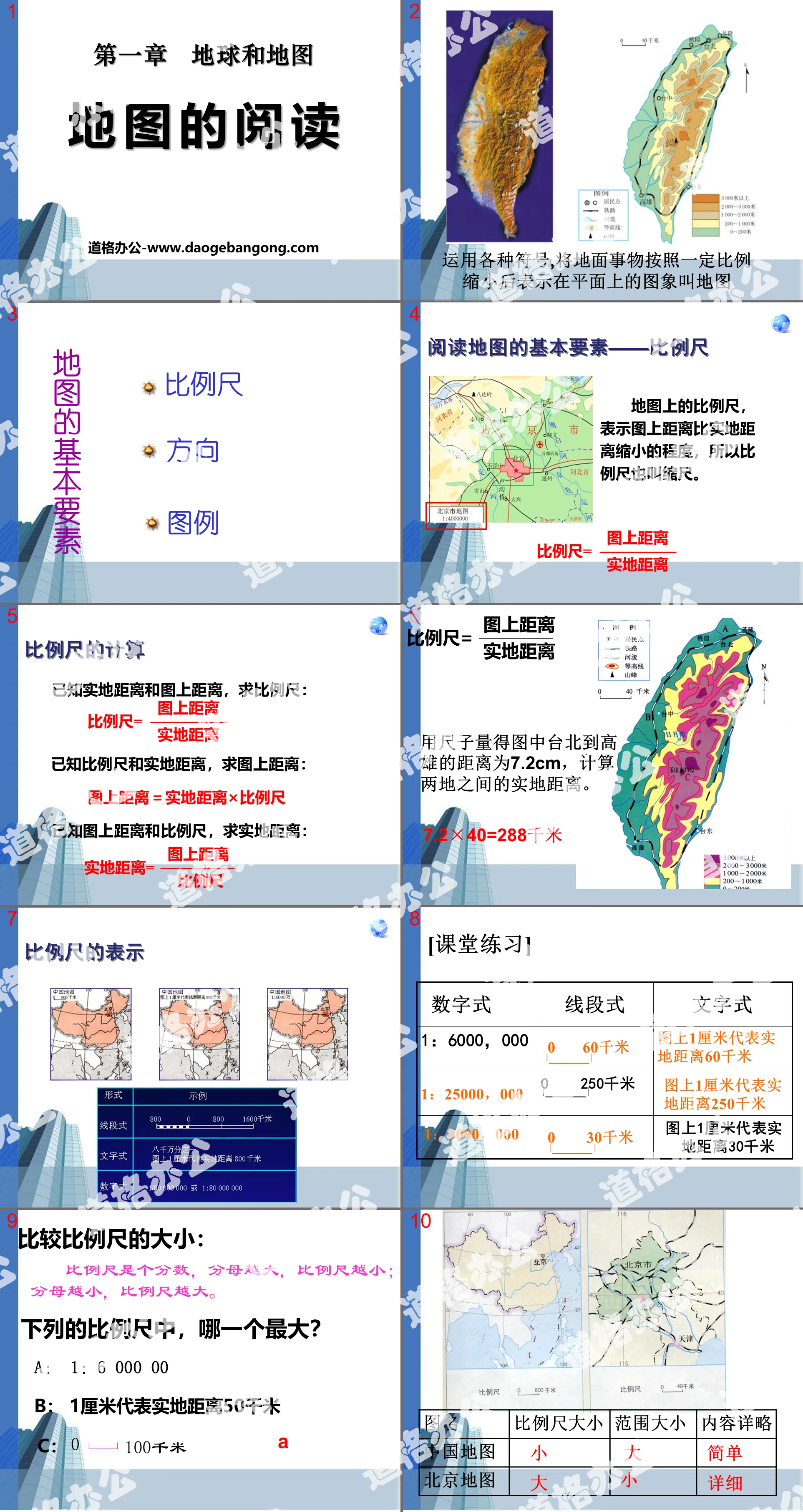
"Reading Maps" Earth and Maps PPT Courseware 7
2024-10-02
Copyright statement: This material is compiled and released by the user of Daoge Resources. The copyright belongs to the author. For commercial use, please contact the copyright owner. If there is any infringement, please contact the webmaster to remove the resource.
Download Points: 0.00
Free Download
Upgrade VIP
Favorite
Views: 1482 / Downloads: 886
Description
"Reading Maps" Earth and Maps PPT Courseware 7
Basic elements of map reading - scale
The scale bar on the map indicates the degree to which the distance on the map is smaller than the distance on the ground, so the scale bar is also called a scale bar.
Calculation of scale
Given the distance on the ground and the distance on the map, find the scale: Scale = distance on the map/distance on the ground
Given the scale and real distance, find the distance on the map: distance on the map = real distance × scale
Given the distance on the map and the scale bar, find the distance on the ground: distance on the ground = distance on the map/scale bar
Compare the sizes of scale bars:
The scale is a fraction. The larger the denominator, the smaller the scale; the smaller the denominator, the larger the scale.
Which of the following scales is the largest?
A:1:6 000 00
B: 1 centimeter represents a physical distance of 50 kilometers
C: 0___100 kilometers
In the case of the same map size, the larger the map scale, the smaller the range to be represented and the more detailed the content to be represented.
On the contrary, the smaller the scale of the map, the larger the range to be represented and the simpler the content to be represented.
1. Orientation of general maps
Give it a try:
1. In which direction is the rhinoceros pavilion located from the panda pavilion?
2. In which direction is the small animal area located in Liger Mountain?
2. Point to the landmark map for orientation
Give it a try:
1. In what direction is a located from b?
2. In what direction is b located in c?
Still the same question, can you do it again?
After what you just learned, what do you think are the ways to determine the direction on the map?
1. General method: up, north, down, south, left, west, right, east
2. Pointing method: The direction of the pointing arrow is true north, and then determine other directions.
3. Meridian network method: Meridians indicate the north-south direction, and latitude lines indicate the east-west direction. The North Pole indicated by the longitude is true north, and the opposite direction is true south.
summary
Direction, Beacon, Graticulus and Latitude, General Orientation
Scale, calculation formula, representation, distance measurement
Legend Symbol Text Number
Keywords: Earth and map teaching courseware, map reading teaching courseware, People's Education Edition seventh grade geography PPT courseware download, seventh grade geography slide courseware download, Earth and map PPT courseware download, map reading PPT courseware download, .PPT Format;
For more information about the "Earth and Maps Map Reading" PPT courseware, please click the "Earth and Maps PPT Map Reading PPT" tab.
"Reading Maps" Earth and Maps PPT Courseware 9:
"Reading Maps" Earth and Maps PPT Courseware 9 Learning Objectives 1. Know the three elements of a map. 2. Know the representation method of scale bar on the map, the conversion and calculation of scale bar. 3. Know the three representation methods of direction and be able to identify different directions on the map. ..
"Reading Maps" Earth and Maps PPT Courseware 8:
"Reading Maps" Earth and Map PPT Courseware 8 1. Learn to read maps Definition: A map is an image on a plane that uses various symbols to reduce geographical things to a certain proportion. The language scale, direction and legend of the map 1. The scale on the map..
"Reading Maps" Earth and Maps PPT Courseware 6:
"Reading Maps" Earth and Maps PPT Courseware 6 Review Objectives: 1. Tell the definition of a map and know the three elements of a map. 2. Remember the definition, formula, and form of the scale; remember commonly used legends and notes. 3. Learn to calculate the scale; learn to judge on the map..
File Info
Update Time: 2024-10-02
This template belongs to Geography courseware People's Education Edition Geography for Grade 7 Volume 1 industry PPT template
"Reading Maps" Earth and Maps PPT Courseware 7 Simple campus recruitment activity planning plan summary enterprise and institution recruitment publicity lecture PPT template is a general PPT template for business post competition provided by the manuscript PPT, simple campus recruitment activity planning plan summary enterprise and institution recruitment promotion Lecture PPT template, you can edit and modify the text and pictures in the source file by downloading the source file. If you want more exquisite business PPT templates, you can come to grid resource. Doug resource PPT, massive PPT template slide material download, we only make high-quality PPT templates!
Tips: If you open the template and feel that it is not suitable for all your needs, you can search for related content "Reading Maps" Earth and Maps PPT Courseware 7 is enough.
How to use the Windows system template
Directly decompress the file and use it with office or wps
How to use the Mac system template
Directly decompress the file and use it Office or wps can be used
Related reading
For more detailed PPT-related tutorials and font tutorials, you can view: Click to see
How to create a high-quality technological sense PPT? 4 ways to share the bottom of the box
Notice
Do not download in WeChat, Zhihu, QQ, built-in browsers, please use mobile browsers to download! If you are a mobile phone user, please download it on your computer!
1. The manuscript PPT is only for study and reference, please delete it 24 hours after downloading.
2. If the resource involves your legitimate rights and interests, delete it immediately.
3. Contact information: service@daogebangong.com
"Reading Maps" Earth and Maps PPT Courseware 7, due to usage restrictions, it is only for personal study and reference use. For commercial use, please go to the relevant official website for authorization.
(Personal non-commercial use refers to the use of this font to complete the display of personal works, including but not limited to the design of personal papers, resumes, etc.)
Preview
Related Search:
"Reading Maps" Earth and Maps PPT Courseware 7
2024-10-02
Copyright statement: This material is compiled and released by the user of Daoge Resources. The copyright belongs to the author. For commercial use, please contact the copyright owner. If there is any infringement, please contact the webmaster to remove the resource.
Download Points: 0.00
Free Download
Upgrade VIP
Favorite
Views: 1482 / Downloads: 886


