| Category | Format | Size |
|---|---|---|
| People's Education Edition Geography for Eighth Grade Volume 2 | pptx | 6 MB |

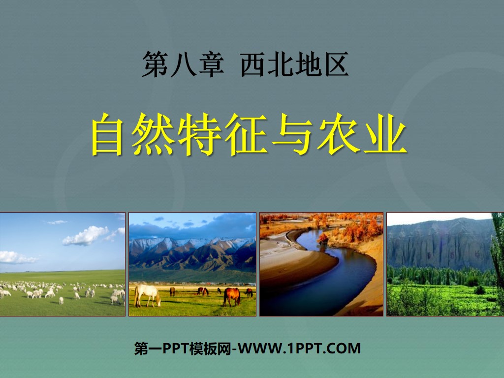
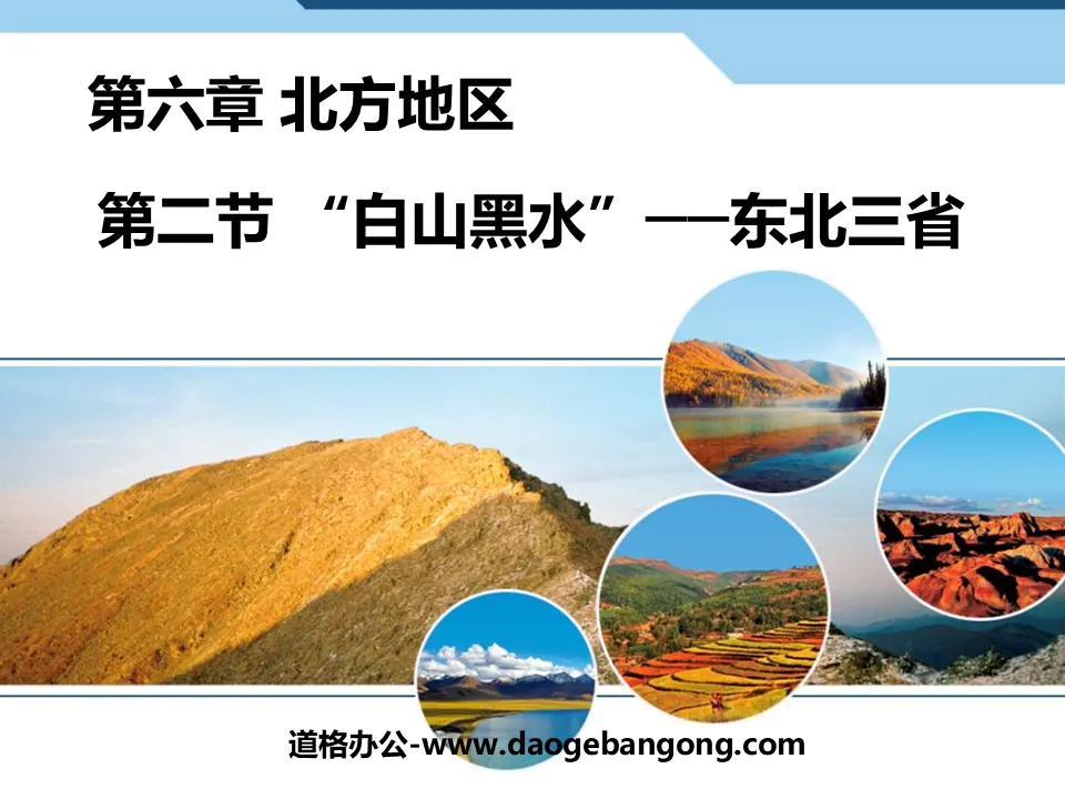
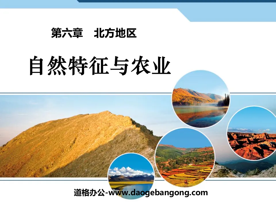
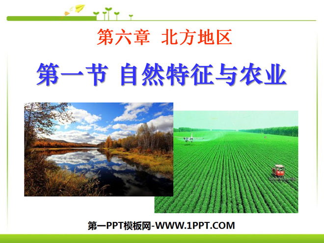
"Natural Features and Agriculture" Northern Region PPT Courseware 4
Description
"Natural Features and Agriculture" Northern Region PPT Courseware 4
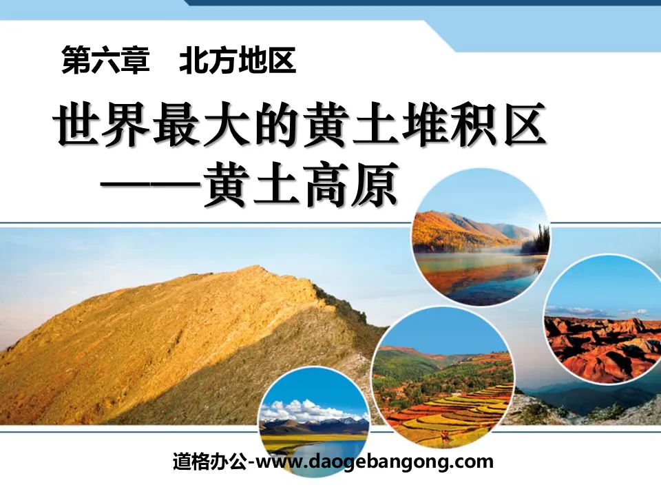
1. Black soil and yellow soil
"Black land" refers to the Northeast Plains
"Loess Land" refers to the Loess Plateau and the North China Plain
(1) Location and scope
1. Nature: East of the Greater Khingan Range, the Qinghai-Tibet Plateau, south of the Inner Mongolia Plateau, Qinling Mountains - north of the Huaihe River, and bounded by the Bohai Sea and the Yellow Sea to the east. Three geographical units
2. Administrative Region: The northern region includes Heilongjiang, Jilin, Liaoning, Beijing, Tianjin, Hebei, Shanxi, Shandong, Henan, the southeastern part of Long and Ningxia, the northern part of Jiangsu and Anhui, and the northeastern part of Inner Mongolia. (Note the provincial administrative regions that the boundary line passes through)
The three northeastern provinces, all or part of the provinces in the middle and lower reaches of the Yellow River, the southeastern parts of Gansu and Ningxia, and the northern parts of Jiangsu and Anhui provinces.
3. Latitude and longitude: 34°N-53°N, 100°E-135°E
4. Area: The area accounts for 20% of the country.
(2) Characteristics of natural areas in the northern region:
1. Terrain features
The northern region is dominated by plains and plateaus. Including the Northeast Plain, North China Plain, Loess Plateau, Shandong Hills, Liaodong Hills, Changbai Mountains, Greater and Lesser Khingan Mountains and Taihang Mountains.
Plains are mainly distributed in the eastern region, with open and flat terrain and low altitude. There are swamps in the north and low wetlands and saline-alkali lands in the south. The Loess Plateau is crisscrossed with ravines and has serious soil and water loss.
(1) Topographic characteristics of Northeast China:
Surrounded by mountains and rivers, thousands of miles of fertile fields
① Mountainous area: Surrounded by the Greater Khingan Range, Lesser Khingan Range, and Changbai Mountain on the west, north, and east sides respectively
②The Northeast Plain (composed of Songnen Plain, Liaohe Plain, and Sanjiang Plain) is fertile and wild.
(2) Topographic characteristics of North China
North China Plain---Yellow-Huaihai Plain
Ⅰ Scope: Five provinces and two cities including Beijing, Tianjin, Hebei, Shandong, Henan, Anhui, and Jiangsu. It has been known as the "Central Plains" since ancient times.
Ⅱ Formation: It is formed by the combined alluvial force of the Yellow River, Huaihe River and Haihe River, with the Yellow River being the main force.
III Characteristics: A is complete and the terrain is low and flat (the altitude is mostly below 50 meters, and the coastal plain is only about 4 meters above sea level); B there are many gently undulating hills on the plain, and there are shallow closed depressions between the hills.
2. Climate characteristics
(1) Temperate monsoon climate
The climate is dominated by temperate monsoon climate, with warm, hot and rainy summers, cold and dry winters, spring droughts and frequent sandstorms in winter and spring. The climate has obvious north-south and east-west differences.
The annual precipitation ranges from 400 to 800mm (except for Changbai Mountain). The precipitation decreases from east to west, and the precipitation is concentrated from July to August.
There is not much difference in temperature in summer. Except for the northern end of the Greater Khingan Mountains, which is below 16°C, most areas are above 20°C. In winter, the temperature is below 0°C, but there is a big difference between the north and the south. In North China, the temperature is mostly between 0°C and -10°C. The temperature in the Northeast is below -10℃.
(2) Northeast climate and its impact
① Temperature zone: Mainly the mid-temperate zone, the average temperature in January is below -8℃, the annual precipitation is more than 800 mm in the southeastern mountains, and the rest is 400-800 mm. The mountains are humid areas and the rest are semi-humid areas.
② Dry and wet areas: northern and eastern parts--humid, central part--semi-humid, western part---semi-arid
The main constraint on the development of agriculture: insufficient calories
Disadvantageous conditions: short growing season, insufficient heat; greatly affected by cold waves; the west is greatly threatened by wind and sand.
3. River characteristics
(1) Hydrological characteristics: The seasonal changes in river runoff are obvious, with summer being the wet season and winter being the dry season; the water volume and sediment content vary greatly between the north and the south, and both have icing periods, and are longer in the north and shorter in the south. The shipping value of rivers is quite different between Northeast China and North China.
Flood disasters in rivers
(2) Reason analysis: A. Precipitation is concentrated in the north, and there are many heavy rains; B. The terrain in the lower reaches of rivers in the north is low and flat; C. The lower reaches of many rivers are seriously silted, and the river water cannot flow into the sea smoothly, forming above-ground rivers. D. Rivers such as the Haihe River have many tributaries and insufficient channels into the sea. During the flood season, floods are concentrated and the main stream flows sluggishly.
(3) Governance measures
Yellow River: Build a reservoir in the upper reaches; control soil erosion in the middle reaches; strengthen embankments in the lower reaches.
Haihe River and Huaihe River: build reservoirs on the tributaries; build flood storage projects in the midstream depressions; dig into the Haixin River downstream to disperse the water flow, etc. As shown in the picture
(4)Main rivers:
The main rivers in North China include: the Yellow River (tributaries Weihe River and Fenhe River); the Haihe River and its fan-shaped tributaries (Northern Canal, Yongding River, Daqing River, Ziya River, and South Canal); and the Beijing-Hangzhou Grand Canal.
The main rivers in Northeast China are: Heilongjiang, Songhua River, Ussuri River, Liaohe River, and Yalu River
Keywords: Northern region teaching courseware, natural features and agriculture teaching courseware, New People's Education Edition Geography PPT courseware for eighth grade volume 2, eighth grade geography slide courseware download, northern region PPT courseware download, natural features and agriculture PPT courseware download,. ppt format
For more information about the "Natural Features and Agriculture in the Northern Region" PPT courseware, please click on the "Natural Features and Agriculture PPT in the Northern Region" PPT tag.
"Natural Features and Agriculture" Qinghai-Tibet Region PPT Courseware 4:
"Natural Features and Agriculture" Qinghai-Tibet Region PPT Courseware 4 1. The Roof of the World The Qinghai-Tibet region is located in the southwest of my country, west of the Hengduan Mountains, south of the Kunlun Mountains, and to the national border in the south. Topography: The northwest is high and the southeast is low plateau, with an average altitude of 4,000 meters. Qinghai-Tibet Plateau..
"Natural Features and Agriculture" Qinghai-Tibet Region PPT Courseware 3:
"Natural Features and Agriculture" Qinghai-Tibet Region PPT Courseware 3 1. The Roof of the World The Qinghai-Tibet region is located on the _____th level of terrain in my country, with an average altitude of more than _____ meters. It is called _____ and is the _____ plateau in the world. . What are the characteristics of the terrain in the Qinghai-Tibet region? Looking from afar...
"Natural Features and Agriculture" Qinghai-Tibet Region PPT Courseware 2:
"Natural Features and Agriculture" Qinghai-Tibet Region PPT Courseware 2 1. The location and scope of the Qinghai-Tibet region 2. The natural geographical features are high and cold. Causes: The Eurasian plate and the Indian Ocean plate squeeze and uplift the source of the river, and there are many lakes in the Yangtze River, Yellow River, Yarlung Zangbo River, Nujiang Snow Peaks...
File Info
Update Time: 2024-07-03
This template belongs to Geography courseware People's Education Edition Geography for Eighth Grade Volume 2 industry PPT template
"Natural Features and Agriculture" Northern Region PPT Courseware 4 Simple campus recruitment activity planning plan summary enterprise and institution recruitment publicity lecture PPT template is a general PPT template for business post competition provided by the manuscript PPT, simple campus recruitment activity planning plan summary enterprise and institution recruitment promotion Lecture PPT template, you can edit and modify the text and pictures in the source file by downloading the source file. If you want more exquisite business PPT templates, you can come to grid resource. Doug resource PPT, massive PPT template slide material download, we only make high-quality PPT templates!
Tips: If you open the template and feel that it is not suitable for all your needs, you can search for related content "Natural Features and Agriculture" Northern Region PPT Courseware 4 is enough.
How to use the Windows system template
Directly decompress the file and use it with office or wps
How to use the Mac system template
Directly decompress the file and use it Office or wps can be used
Related reading
For more detailed PPT-related tutorials and font tutorials, you can view: Click to see
How to create a high-quality technological sense PPT? 4 ways to share the bottom of the box
Notice
Do not download in WeChat, Zhihu, QQ, built-in browsers, please use mobile browsers to download! If you are a mobile phone user, please download it on your computer!
1. The manuscript PPT is only for study and reference, please delete it 24 hours after downloading.
2. If the resource involves your legitimate rights and interests, delete it immediately.
3. Contact information: service@daogebangong.com
"Natural Features and Agriculture" Northern Region PPT Courseware 4, due to usage restrictions, it is only for personal study and reference use. For commercial use, please go to the relevant official website for authorization.
(Personal non-commercial use refers to the use of this font to complete the display of personal works, including but not limited to the design of personal papers, resumes, etc.)
Preview
Related Search: